
ICARIA Toolkit

ICARIA
Datasets
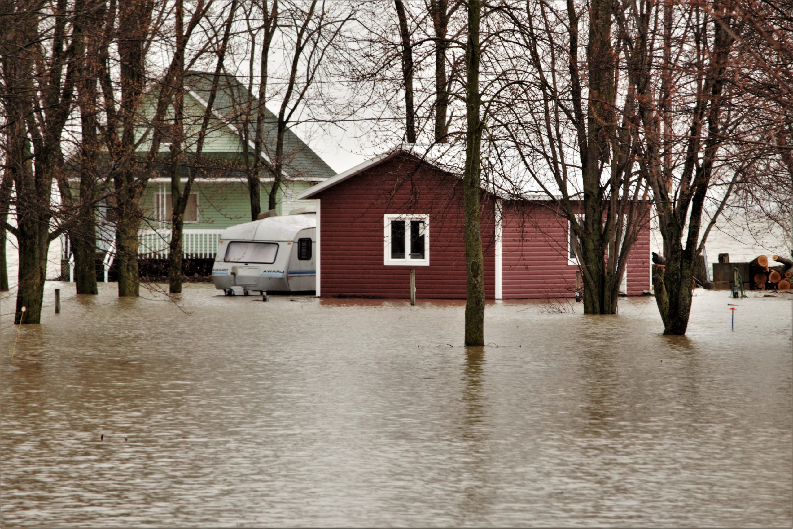
The development of project ICARIA involves the development of a large number of datasets related to various fields: historical meteorological data, climate projections, historic economic losses associated with past extreme weather events or inventories of vulnerable assets.

ICARIA
Maps
As a result of ICARIA’s novel risk assessment methods, a set of maps is produced. According to the risk assessment framework, these maps can represent the geographical distribution of either hazard, vulnerability or risk against specific climate hazards.

ICARIA Decision Support System (DSS)
Designed as a toolbox, the ICARIA Decision Support System (DSS) allows its users to compare several adaptation scenarios to improve climate planning on critical infrastructures offering a detailed asset-level approach, and a holistic approach to support decision-making at an appropriate scale.

Adaptation Measures Portfolio
The ICARIA Portfolio presents a detailed list of adaptation measures that can be implemented to improve the climate resilience of critical assets against a wide range of climate hazards. It includes the information needed to model the impact reduction on the assets for each solution.

Holistic Resilience Assessment Tools
These tools support a holistic assessment of climate resilience of complex systems focusing on critical assets. It can adopt a wide range of territorial scopes, is applicable to different assets and services and considers different climate-related stressors as single or compound events.

Impact and Multi-risk Assessment
A series of multi-risk assessment models that enable an improved impact assessment considering a wide range of climate hazards and risk receptors of compound-complex weather events and the subsequent cascading effects.