Get to know ICARIA technology better: new scientific paper about HISDAC-ES (1900–2020)
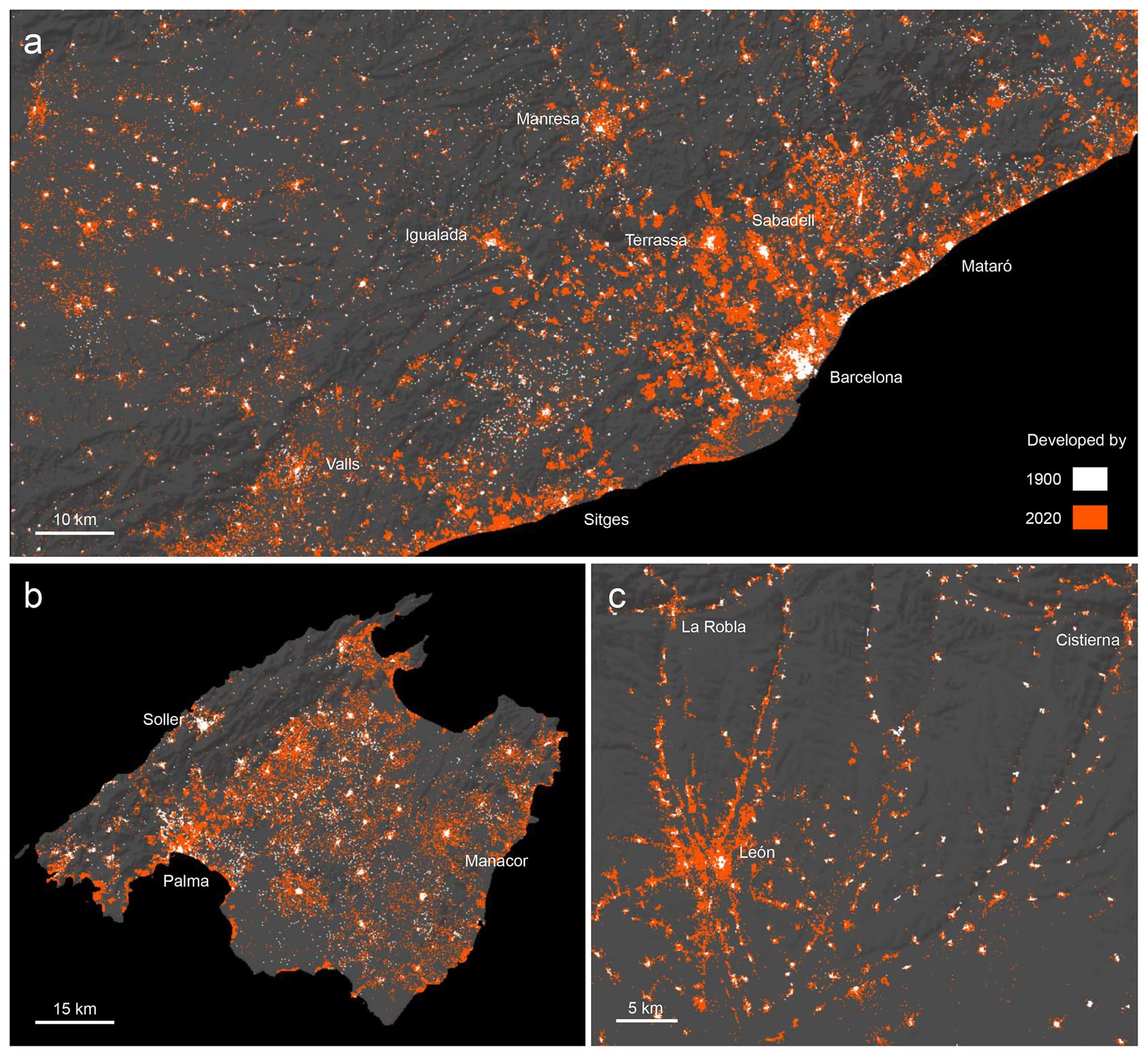
In this “Data description” paper, we presented the creation and characteristics of Historical Settlement Data Compilation for Spain (HISDAC-ES), a set of geospatial raster and vector layers measuring the built environment in Spain from different perspectives, including physical, temporal, evolutionary, and functional aspects.
HISDAC-ES represents a rich source for quantitative, long-term analyses of the built environment and related processes over large spatial and temporal extents (1900-2020) and at fine resolutions. It aims to (a) facilitate the access to and use of information derived from cadastral building data by spatial, temporal, and semantic aggregation; (b) provide empirically measured, historical geospatial data, enabling contemporary but also long-term, historical analyses of urban growth, sprawl, and change; and (c) demonstrate the usefulness of cadastral data for geographic applications in general and domains of social and environmental sciences, more specifically.

HISDAC-ES provides a valuable data source for urban analysts, regional planners, and policy makers, enabling or upscaling the quantitative measurement and interpretation of long-term urbanization and land development processes. Together with the sister product HISDAC-US, it will enable the comparative study of urban size, shape, and morphology over long time periods, across different continents, and across historical as well as cultural settings.
Authors: Johannes H. Uhl, Dominic Royé, Keith Burghardt, José A. Aldrey Vázquez, Manuel Borobio Sanchiz and Stefan Leyk.
More news

ICARIA launches a call for abstracts on multi-hazards modelling for EGU 2025
ICARIA has recently launched a call for abstracts to join a session on multi-hazards modelling at the EGU General Assembly... View Article

Meet the team: Rita Brito
Rita Brito is Research Assistant at LNEC and the leader of Work Package 3-Impacts Evaluation and DSS (Decision Support System).... View Article

Meet the team: Mattia Leone
Mattia Leone is Associate Professor and Senior Researcher at Università degli Studi di Napoli Federico ll and the leader of... View Article

